Showing posts with label Mrs Coot. Show all posts

Wednesday, September 26, 2012

Beaver Basin Overlook - Pictured Rocks National Lakeshore

Our visit to Pictured Rocks National Lakeshore's Beaver Basin Overlook was one of my favorite activities on our recent vacation.  It's one of the less accessible areas of the park, found only after travelling several miles of a primitive truck trail, just getting there is a big part of the adventure.
Beaver Basin (from National Park Service park map)
Yours truly, Mr Crippled Coot at Beaver Basin Overlook
While the landforms of Beaver Basin Wilderness were shaped by the God, glaciers, and the ancestral predecessors of Lake Superior, the area's wilderness designation is a recent thing.  Created as a part of the Omnibus Public Land Management Act of 2009, Beaver Basin Wilderness totals 11,740 acres, including 13 miles of Lake Superior shoreline from Spray Falls on the west to Sevenmile Creek on the east.
Imagine the entire scene below, not as woods and trees, but instead as a large shallow bay.  As recently as 4500 years ago, Lake Nipissing (a predecessor of current Lake Superior) covered Beaver Basin in exactly that way.
Red line denotes the boundary of Beaver Basin Wilderness (designated in 2009) part of Pictured Rocks National Lakeshore.  People with experience reading topo maps can easily picture the area as a large shallow bay.
Folks interested in visiting this overlook for themselves should note that warnings about the access road being primitive and rough are very much true.  There are only 2 kinds of vehicles that would get the "Crippled Coot Seal of Approval" for using this primitive trail, high clearance 4x4 vehicles and (of course) rental cars.  Mrs Coot has pointed out, for folks who don't have a rental car or 4x4 handy, that it's also possible to trek the rough 3 mile access road on foot.
Mrs Crippled Coot smiles -  trailhead at Beaver Basin Overlook
Mr Crippled Coot enjoys the view.
Because of the rough access road, we had the overlook completely to ourselves for the entire time Mrs Coot and I were there to visit.  I do love solitude, not to mention a good opportunity to get my truck onto a 2-track trail, so it should be pretty obvious why I enjoyed our afternoon at Beaver basin Overlook so very much.

Oh yes, the view (our pictures didn't properly capture it's beauty) is darn good too!

Monday, September 17, 2012

Visiting a trio of Superior's Shipwrecks - Pictured Rocks National Lakeshore

Lake Superior's "Graveyard Coast"

Lake Superior is famous for shipwrecks.
On yet another blustery September day on the shores of Lake Superior, not far from Twelvemile Beach, the Crippled Coots set off to visit some shipwrecks that can be accessed by foot at Pictured Rocks National Lakeshore.  Thankfully the weather was a bit more mild for this jaunt, Mrs Coot won't be so bundled up that  her face is lucky to be seen.

Canadian Gordon Lightfoot is best known in the United States, not so much as a musician who helped define the folk-pop sound of the 1960s and 1970s (as he's described at Wikipedia,) but instead more simply as the author and performer of the hit song The Wreck of the Edmund Fitzgerald, which details one ill fated freighter that fell victim to the deepest and roughest of the Great Lakes.
Mrs Coot and I hiked about two miles more than needed this day . . . It's a good thing the beach is beautiful!
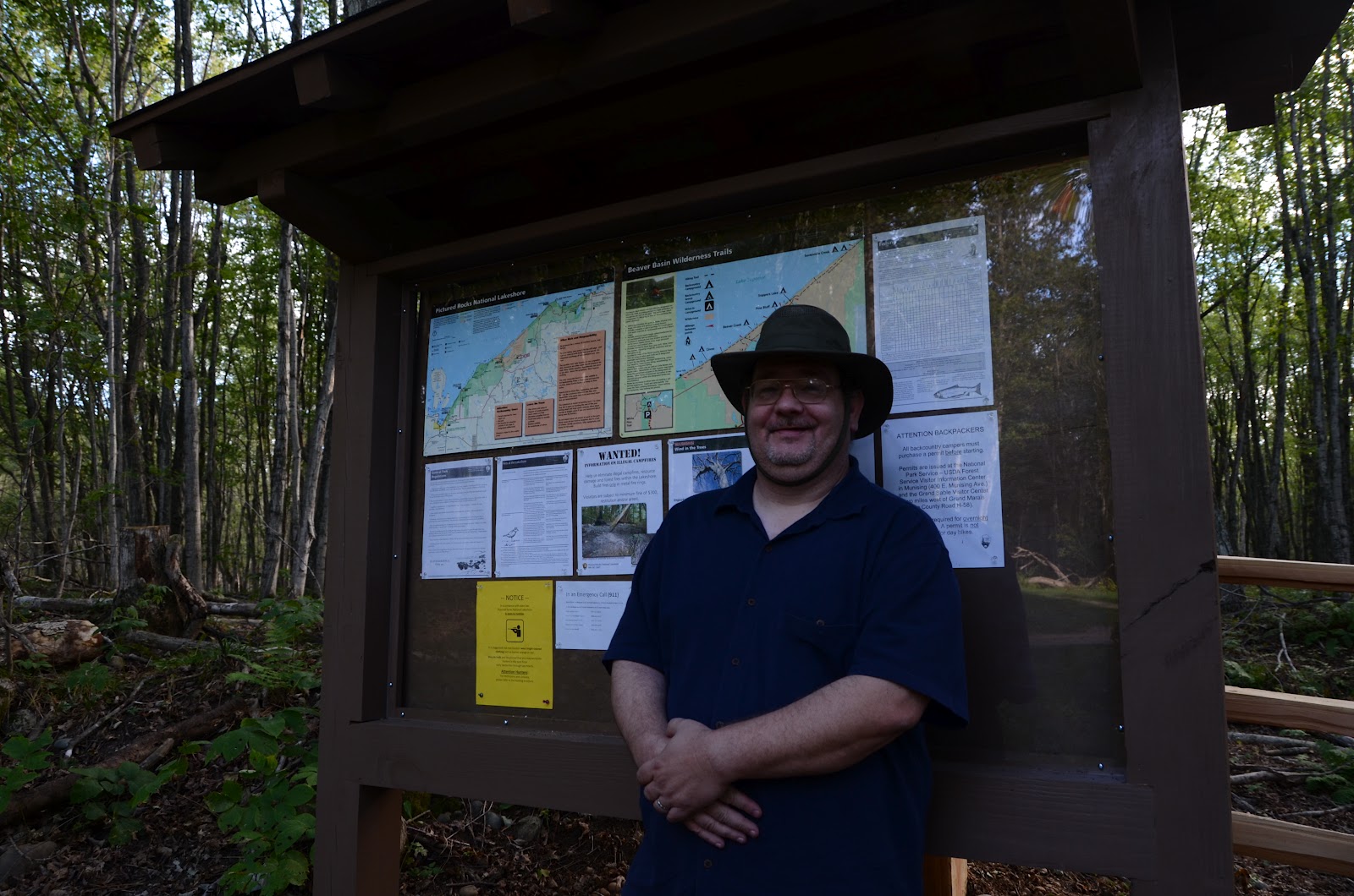
The hike to the shipwrecks begins at a parking lot just outside the Hurricane River Campground, accessed via Alger County Road H-58 (the road that serves as the primary access for most of the park's attractions.)  Although there was a strong wind off the lake, the day was a comfortable one, with temperatures in the 60's, my ideal weather for a hike.

In the Hurricane River vicinity, there are a number of signs directing visitors to the beach for the shipwreck, taking the one nearest to the campground area will lead to a long walk along a very fine white sand beach.  It's a beautiful walk, and simply heading out along the beach until we encountered the wrecks might have been a more efficient plan than the way our day actually unfolded.
Dark hard red hsandstone shoals extend beneath the surface of Lake Superior to pose a navigation hazard for unwary and unlucky mariners.
The day of our hike, the Mrs and I headed out along the Lakeshore Trail, a beautiful walk that parallels the beach through some nice northwoods style forest.  Lower Hurricane Campground as well as the road and trail all sit comfortably above the beach on a flat sandy bench of land created by Lake Superior as it was falling from (higher) Ice Age levels to the lake we know today.

It's a comfortable walk along that trail (also the way to Au Sable Point Light Station) to a standard National Park Service style plaque directing visitors to take a left turn on the beach to view the shipwrecks.  I faithfully followed the directions so thoughtfully provided by my Park Ranger friends, confident they'd not steer me wrong.
Mr Coot studying the sandstone off of Au Sable Point which was the likely cause of these shipwrecks.
One thing to note about the National Park Service signage directing folks to the wrecks, it really does send you off in the wrong direction.  Current NPS signs directs visitors to turn left up the beach to view the wrecks, when in reality it's at least another quarter mile further down he beach to the right that the shipwrecks are found.

I found myself leading Mrs Coot back up the beach to within sight of our departure point before realizing that the park service signage was incorrect.  We trudged back along our tracks, determined to find our destination, but frustrated by the misdirection.
These shallow shoals and rocky shores served to create the ship graveyard we were hoping to encounter.
Experience has taught us that it's best to carry not only water, but also a snack when we head out on our excursions.  I'm diabetic, it's well controlled by diet at this time, but it's also an illness that can quickly lead to a scary situation if I find myself low on blood sugar with two miles left to hike back to a trailhead.

As a self proclaimed "Crippled Coot" I've found that the litany of diagnoses and accronyms I might otherwise become: Asthma, Emphysema, C.O.P.D., Diabetes, G.E.R.D., Fibromyalgia, Degenerative Disc Disease, Osteoarthritis, etc., don't need to prevent me from hiking and exploring, it simply means I need to be smarter and plan ahead to do things others might accomplish without thought.

Such forward thinking and planning is a small price for me to pay in order to trek and explore our continent's natural beauty with Mrs Coot!  But, there are also days (hopefully infrequent) when both Mr and Mrs Coot look at each other with a slight sense of panic and ask in near unison, "Did you throw lunch in the daypack?"

This was one of those days!
Beachside break on the way to the shipwrecks - Sorry no lunch!
Finally, after walking most of the beach between Hurricane River campground and Au Sable Point Lighthouse twice just to find our intended destination, we did find the shipwrecks.  It was worth the walk, not to mention all the sand that invaded our boots as we hiked.
Mrs Coot finds a shipwreck!
The ship remains here are remnants of ships from the 1800's, with hefty wood timbers and iron metalwork.  It seems amazing that they are still visible and accessible more than 100 years after their demise as working vessels, I guess that's a tribute to the lake's frigid cold waters.  It seems that the smashing of waves (and perhaps ice) will be the cause of the final demise of these ship's remains much more likely than the decomposers that cover and claim wrecks in more temperate climates.
The Missus, exploring wreckage that I didn't cause - Priceless!
Darling, look out for the bigger waves coming in . . . 
Too late, our boots (and socks) have just become soaked with cold lake water!
The wrecks were impressively sized and not far apart.  Lake Superior waves, driven by the same winds and storms that terminated these vessel's working career, having moved them along the beach together for our convenience.

Looking back at the wrecks as we continue to Au Sable Point
My hands were a little unsteady so the picture's horizon is not level!
When it was all said and done, the wrecks were finally found not far from the Au Sable Light Station, a historic lighthouse still operated by the National Park Service.  We continued another quarter to half mile down the beach to that attraction, but that's another story for a different time . . .

Sunday, September 16, 2012

Twelvemile Beach via Lake Superior Overlook - Pictured Rocks National Lakeshore


Mrs Coot - Looking for solitude (and pretty rocks) along Twelvemile Beach
As I mentioned in a previous post, what made the Lake Superior Overlook at Pictured Rocks National Lakeshore most special for me was the great access it offers to Twelvemile Beach.  Together, on a blustery September day, Mrs Coot and I slowly wandered about a half mile up the beach from the overlook, feeling the lake winds across our faces, as we looked to find some total solitude for ourselves.

We concentrated on walking on the stabilized wet sand rather than the very fine loose dry sand that covers the beach, while also avoiding the bigger waves. Lake Superior's waters never get much above a bone chilling temperature, and neither one of us really wanted to get our feet cold and wet on a windy autumn day.
A gnarled and burnt (but photogenic) pine that caught my eye
Solitude Found - Mrs Coot along the shores of Gitche Gumee
One thing that Lake Superior shores are famous for is the tremendous array of rocks that can be found on it's shores.  The huge variety of different rocks, minerals, and semi-precious gems are literally pieces of bedrock from as far away as Hudson Bay, they are a legacy of the most recent ice age.
Red Alligator? - No, it's just another chunk of rock left behind by the last Ice Age

During the time period that the first human civilizations were being established in the region around Mesopotamia and the so called "fertile crescent", the Lake Superior region was still feelings the effects of the most recent Ice Age that sent giant glaciers moving as far south as St Louis.
Lake Superior's array of rocks, minerals and semi-precious gems - Twelvemile Beach
Just know that actual rock collecting is not allowed within the boundaries of Pictured Rocks National Lakeshore.  You can look, you can touch, but when it's all said and done, even the prettiest specimens must remain on the beach for others to admire.  It's not a terrible sacrifice, as there is plenty of other shoreline available for rock collectors on the world's largest freshwater lake, and plenty of attractions to observe by the shores of Gitche Gumee, by the shining big sea waters . . . 
Burnt pine on Twelvemile Beach

Lake Superior Overlook - Pictured Rocks National Lakeshore

Loving life (and the smell of the wind in my face) overlooking Lake Superior
 On Alger County Road H-58 between Twelvemile Beach Campground and Hurricane River Campground is the beautiful Lake Superior Overlook, a recent addition to the attractions to be found at Pictured Rocks National Lakeshore. Mrs Crippled Coot and I visited the overlook on a blustery Saturday afternoon in early to mid-September while we were camping and vacationing this year in Michigan's Upper Peninsula.

Set on a flat sandy bench of land (that I believe is an older Lake Superior beach from when the lake was at a higher level sometime after the most recent ice age,) the overlook itself is completely handicap and wheelchair accessible. It's to be found directly off of a small paved parking lot conveniently provided by the cooperative efforts of the Alger County Road Commission and the National Park Service, not to mention being funded by franchise fees paid to the National Park Service by Pictured Rocks Cruises.
Looking North-Northwest from the Lake Superior Overlook at Pictured Rocks National Lakeshore
Looking Northeast from the Lake Superior Overlook at Pictured Rocks National Lakeshore
Yes, as you can see from the pictures, the view from the overlook is very nice.  Of the drive-in Lake Superior overlooks to be found in the park, this one is the closest to the lake, as well as being the best place to get a quick look at, and capture the feel of, Twelvemile Beach.

While the overlook is nice, what makes the site most special for me is its quick and easy access to Twelvemile Beach, which is well worth exploring.  On the northwest side of the site, there is a convenient set of stairs giving quick and easy access to the beach.
Looking west up Twelvemile Beach
Mr Coot only blocks a little of the view east along Twelvemile Beach
When I was young and relatively healthy, I backpacked the length of the park, so I can't help adding that the solitude of the beach here can be really special.  Despite the passage of more than 20 years since that previous visit, I can say with certainty that my prior experience is still available, and it doesn't take hefting a backpack to get that feel either.

Mrs Coot and I visited the beach on a Saturday, just 5 days after the Labor Day holiday, and for most of the day we had the beach entirely to ourselves.  There were fairly strong winds whipping across Lake Superior from the north, and the days temperature's were probably in the lower 60's, a perfect day to my eyes because the winds helped to create dramatic waves along the beach for our visit.  Still, the busiest the beach ever became was when we shared the view with a grand total of 5 other folks, and none of them wandered more than a short way across the beach.
Crowded!?! - For a short while we shared the beach with 5 other people (and a bird.).

Saturday, September 15, 2012

background

Pictured Rocks National Lakeshore 2012 - © MiKat Images
Ok, so it's really just the blog's current background picture, not some kind of tasty tidbit about my (or my wife's) past, but it is indeed a background.  And, it's my opportunity to say that unless otherwise noted, all pictures included on this blog are the work of one (or the other) of the Crippled Coots and are Copyright © MiKat Images.

I don't keep track of which one of us shoots a particular photo, you might call that one of my eccentricities. So, unless myself or Mrs Coot is featured prominently in the picture, we can't honestly tell you which one of us took any particular landscape photo.

While I may not be able to tell you who took the photo, I can say that, if you look carefully, you'll even see remnants of a shipwreck outlined along the beach.  Not everyone finds the shipwreck(s) along this lonely stretch of windswept beach, as the Park Service signs all point a person in the wrong direction!

what's a coot?

There are at least two potential definitions for the blog's chosen name:

coot
  1. any of a genus (Fulica) of ducklike, freshwater birds of the rail family, with long-lobed toes
  2. an amusing or eccentric old fellow
Although I may have been a bird in a past life (if you believe in such things and I was once a Buddhist you know) I can assure you that my toes are fairly normal in length, not to mention that I'm from the furred rather than feathered line of warm blooded creatures.

Although I'm not sure if she was kidding when she made the suggestion, Mrs Coot told me it would be greatly helpful to include illustrations . . . 
Flock of American Coots in a marsh 
(Picture courtesy of National Digital Library of the United States Fish and Wildlife Service)
Solitary coot (male) on a beach
The solitary (crippled) coot is found in a wider variety of habitats than the "other" kind of coot (feathered), and the solitary coot's plumage is far more variable.  
Female coot on pebbled lake shore
At the end of the day I know for a fact that I'm a bit eccentric (as noted in the second definition.)  From there, I'll leave it up to you to decide if anything here is amusing . . . 

meet the Coots

There I am, in all my "glory", gazing off into the wilderness.

I'm Mr. Crippled Coot, although you can call me Mike.

My wife, Mrs. Coot, is named Katharina.  She's the hottie next to the beaver sign.
To put it into very simplistic terms, this blog is the story of a more than middle aged couple (she turns 60 and he turns 50 within the next year) who were once told they were both basically crippled and useless.  

Most famously, a doctor once wrote in clinical notes on Katharina - "Patient has no remaining quality of life."  It was once remarked to me: "Well then, there's nothing left for you except to apply for disability."

Obviously, we've overcome those dire pronouncements, and we are living our lives to the fullest.  We are enjoying camping and hiking as we explore the many natural wonders of North America.  This blog is simply our way of sharing our experiences with you.